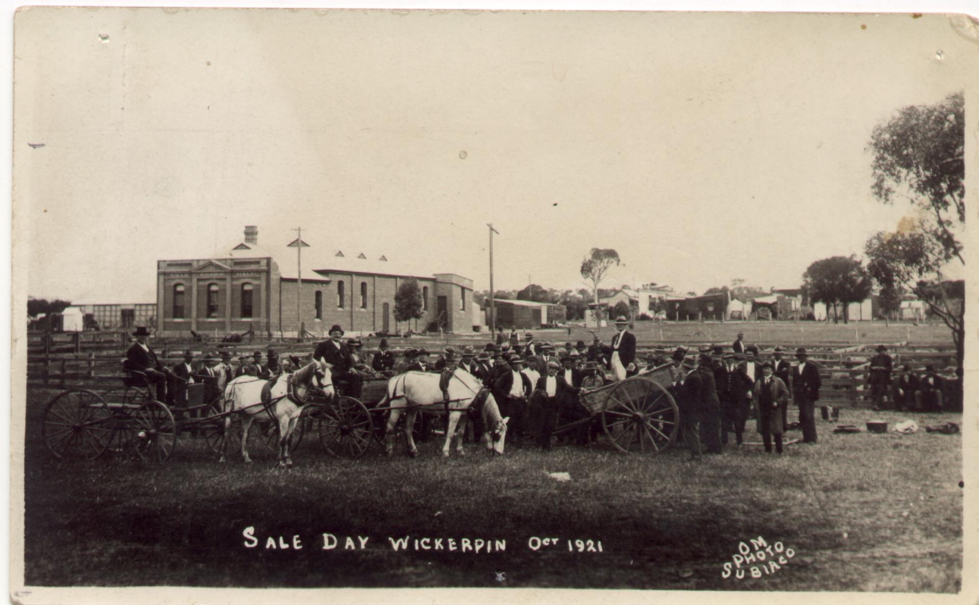
The Shire of Wickepin is a local government area in the Wheatbelt region of Western Australia, east of Narrogin and about 220 kilometres (137 mi) southeast of the state capital, Perth. The Shire covers an area of 2,042 square kilometres (788 sq mi), and its seat of government is the town of Wickepin.
History
The Wickepin Road District was established on 19 February 1909. The Road Board consisted of a chairman, secretary and seven members. On 1 July 1961, it became a shire under the Local Government Act 1960, which reformed all remaining road districts into shires.
Wards
The Shire is at present undivided with its nine councillors representing the entire shire.
Until 20 October 2007 the shire was divided into 5 wards:
- Townsite Ward (2 councillors)
- North Ward (2 councillors)
- Central Ward (2 councillors)
- South Ward (2 councillors)
- East Ward (1 councillor)
Towns and localities
The towns and localities of the Shire of Wickepin with population and size figures based on the most recent Australian census:
Population
Heritage-listed places
As of 2023, 213 places are heritage-listed in the Shire of Wickepin, of which one is on the State Register of Heritage Places, the Wickepin Nursing Post.
References
External links
Media related to Shire of Wickepin at Wikimedia Commons
- Official website

![]()